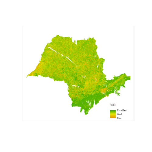
Environmental Assessment
Environmental assessment using the Remote Sensing Ecological Index (RSEI) is a method that employs remote sensing technology and Geographic Information Systems (GIS) to comprehensively evaluate environmental quality.
Description
Usage
Monitor land use changes, evaluate ecosystem health, detect pollution, and assess natural resources, providing detailed data for informed decision-making and policy development;
Monitoring Frequency
Range from continuous or real-time monitoring in critical areas to periodic assessments (e.g., monthly or annually) for long-term environmental studies and trend analysis;


